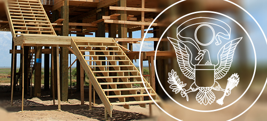


Land Surveying
We stay ahead of technological advances to maintain the necessary expertise to provide high quality mapping and surveying services. Established in 1947, with in-house proprietary records dating back to the late 1890’s, we have the foundation to provide accurate detailed surveys in a timely manner.
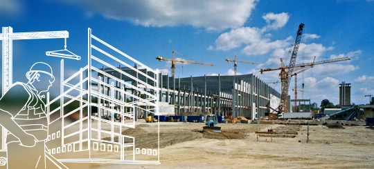
Civil Engineering
We specialize in commercial and residential site design, parking layouts, storm water management, sewer systems, and retaining walls. RVDI’s professional engineers and technicians strive to design creative solutions that incorporate current, cost-effective technologies while meeting our client’s vision.
Land Planning
We assist developers, individual property owners, and municipalities with master planning, site design, presentations and approvals, permitting, and project certifications in order to determine how to develop a site on a wide range of land development projects.